Boost Field Efficiency with Productivity Zones

Take advantage of the superior quality of our Deep Resolution Imagery and Field Boundaries to deliver highly accurate and customizable Productivity Zones that enable various precision AG services (VRT of fungicides / fertilizers / seeds, monitoring field homogeneity, etc) and strengthen in-field analytics.

Empowering Innovative Agriculture Companies

Global Coverage

Available through DigiFarm’s Field Boundaries in over 30 countries, as well as for custom polygons.

Predictable Price

We've prepared a convenient system of discounts for large scale use cases. The larger the area, the lower the price.

API-Ready

Zones available with on demand processing and we offer simple API endpoints for an easy integration.

How does our algorithm work?

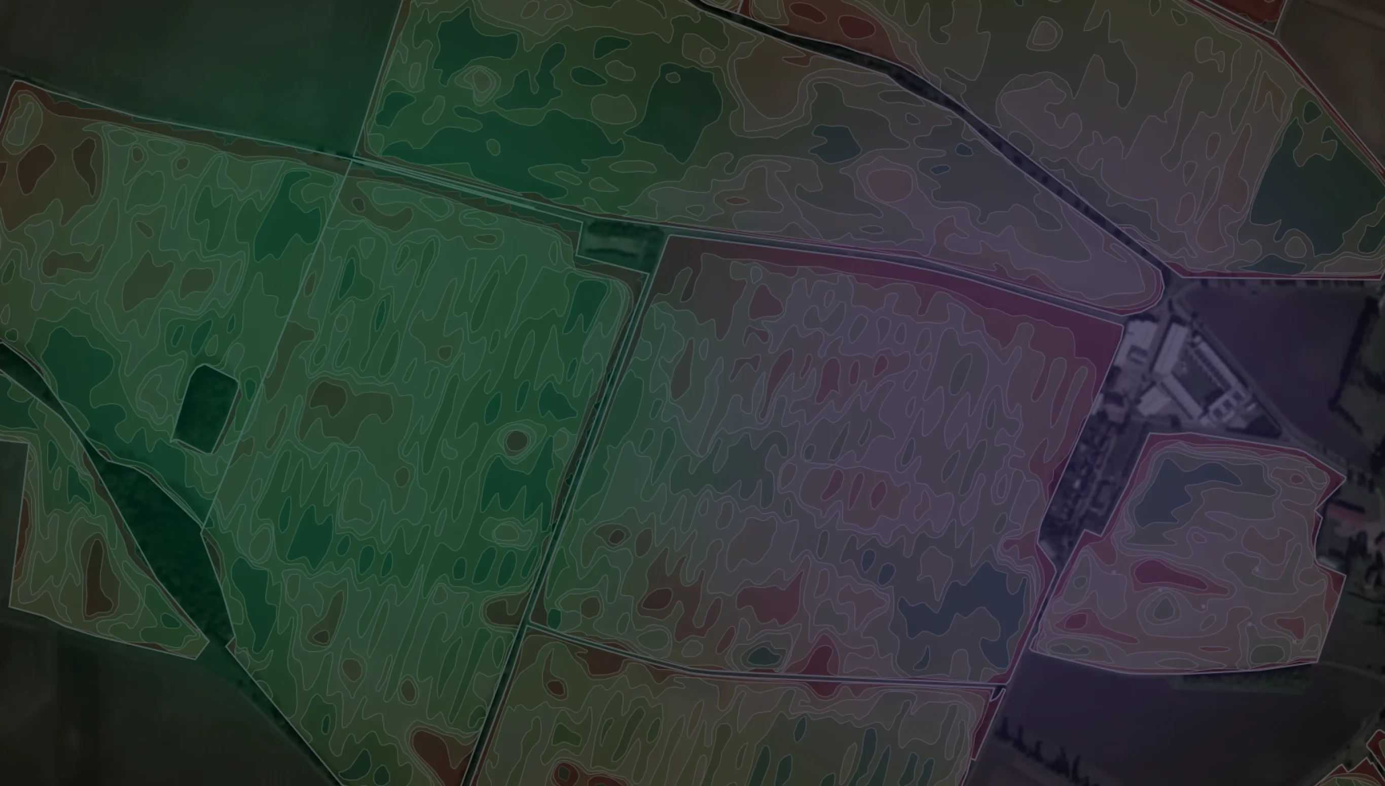
Developed and calibrated through a proprietary algorithm based on 6-year EVI data along with extensive yield and ground truth data in both Norway and Canada. We offer both multi-year zoning (up to 7 years depending on S2 data) as well as custom periods.

6-year NDVI/EVI Data

Capable of taking up to 6 years of EVI/NDVI data to calculate zones with historical biomass accumulation.

Extensive Ground Truth Calibration

With national in-field-data from over 14k producers and 125k hectares in Norway over a 12-year period.

Full end-to-end support

We provide full integration support and documentation for an easy integration to your agricultural solution.

Two data delivery formats

Under request

which is a good choice when the area of interest and fields to be processed are known.

which is a good choice when the area of interest and fields to be processed are known.

which is a good choice when the area of interest and fields to be processed are known.

On demand

in which clients can make a request to our API and have the fields of interest be processed automatically.

in which clients can make a request to our API and have the fields of interest be processed automatically.

in which clients can make a request to our API and have the fields of interest be processed automatically.

Users can choose the period on which Zoning will be run, from a range of years back to 2017 to a specific period within a year, the number of zones to be delivered (up to 7) and the output format, which can be set to either vector format (Geojson) or raster (TIFF file).

Users can choose the period on which Zoning will be run, from a range of years back to 2017 to a specific period within a year, the number of zones to be delivered (up to 7) and the output format, which can be set to either vector format (Geojson) or raster (TIFF file).

Users can choose the period on which Zoning will be run, from a range of years back to 2017 to a specific period within a year, the number of zones to be delivered (up to 7) and the output format, which can be set to either vector format (Geojson) or raster (TIFF file).

For pre-processed data requests, data can be shared either through direct communication with clients or through API, and with on-demand processing the API will signal once processing is done and output data can be requested.

For pre-processed data requests, data can be shared either through direct communication with clients or through API, and with on-demand processing the API will signal once processing is done and output data can be requested.

For pre-processed data requests, data can be shared either through direct communication with clients or through API, and with on-demand processing the API will signal once processing is done and output data can be requested.

Common Questions

Your zoning product includes field boundaries?

Yes, prior to the release of productivity zones for a given region our team will create region-specific training data so that our field delineation model produces boundaries with a high level of precision (IoU of 0.95), which will then be used in the zoning process.

How are your zones different from other options?

Do your zones include mean values for the vegetation indices?

How long does it take for the zones to be processed after a query?

Technical Partners That Believe In Us

First 1,000 hectares for free

Our pricing is based on the data layer and the land area queried through the API. We provide different packages and options for your business. Check it now.

First 1,000 hectares for free

Our pricing is based on the data layer and the land area queried through the API. We provide different packages and options for your business. Check it now.

First 1,000 hectares for free

Our pricing is based on the data layer and the land area queried through the API. We provide different packages and options for your business. Check it now.